Eagle’s Heights Defender
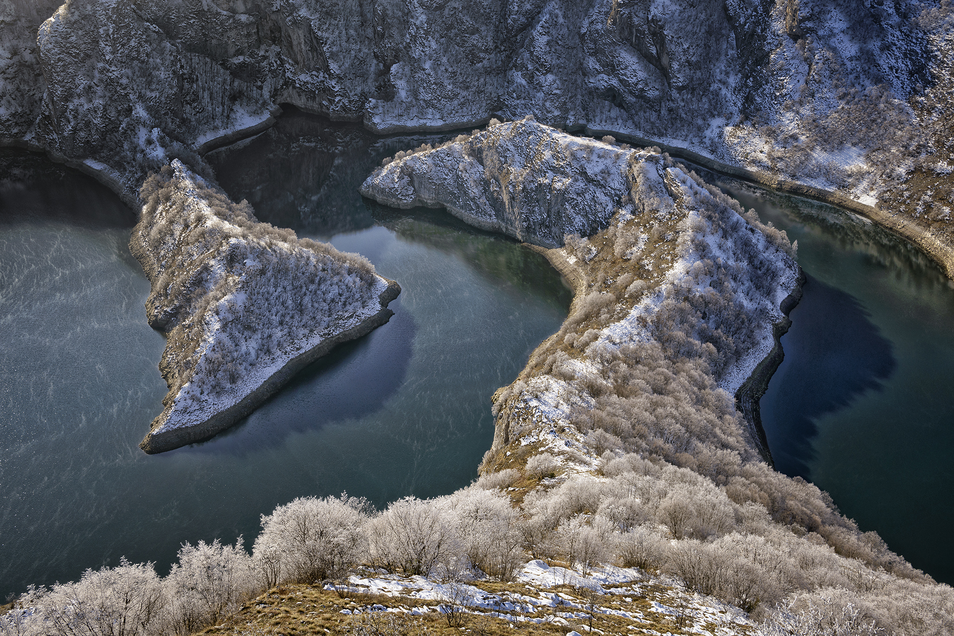
In the Uvac Special Nature Reserve, where the river has carved magnificent meanders through the gorge, lie the remnants of a small mediaeval fortress known as Jerina’s Town or Nemanjić’s Town. Archaeological research indicates that the fort was constructed between the 14th and 15th centuries, although no historical records of its existence have been discovered. The fortress likely served as a station along the famous caravan route that connected Dubrovnik with Constantinople, which traversed this region during the Middle Ages.
The walls of the fortress extend across a narrow, flat plateau atop a cape at an elevation of 1,042 meters. The layout closely follows the unique contours of the terrain, forming an elongated ellipse that is eight meters wide. The visible remains are located in the northern and southern sections, while the walls along the longitudinal sides have crumbled down the cliff faces. Limited archaeological excavations conducted at the site in 2006 revealed that the walls were constructed using rough-hewn stones bound with lime mortar, featuring an inner core of rubble fill. To the west of the site, on the left bank of Lake Uvac, lies the entrance to the Ice Cave. This cave is part of the Ušac cave system, which boasts the largest network of passages in the country. Intriguingly, Jerina’s Town is accessible only by water, further enhancing its appeal as a unique tourist attraction.
ABOVE: Map of the site

ABOVE: Uvac Lake and the remains of Jerina’s Town, taken from the viewpoint of Ravni Krš
Photo Gallery


Explore nearby fortresses

Kovin on the Lim River

Brvenik