The Banat Lighthouse of Freedom
On the far western slopes of the Vršac Mountains, on a steep hill above the town of Vršac and the vast expanse of the fertile Banat plain, lie the remnants of a minor feudal fortification from the first half of the 15th century. It is believed to have been built by Despot Đurađ Branković after the Ottomans’ siege of Smederevo to protect his estates in present-day Vojvodina. Due to its location near the road that led from Timisoara to the Danube, the fortification held great strategic importance. Of the entire structure, the best-preserved part is the dominant keep that gave the fortress – and the hill it is situated on – its name: Vršac Tower. Archaeological explorations have determined that it used to be a lordly castle, and excavations have unearthed remains of a rampart, a palace, a semi-circular tower, and a furnace. For the past two hundred years, the tower has been featured on the coat of arms of the town of Vršac as a symbol of its inhabitants’ aspirations for freedom. Today, because of extensive reconstruction works, the tower is a one-of-a-kind tourist attraction.
The exact year of the castle’s construction on the Vršački Breg was not documented. Most probably, it was built after the capital of Smederevo surrendered in 1439, and the entire Serbian Despotate temporarily ceased to exist. Some indications suggest that the fortification might have been erected a bit earlier. Namely, in a letter from the Hungarian King Sigismund of Luxemburg dated 1427, the town of Vršac is mentioned for the first time as Podvršac, allowing the interpretation that this settlement was formed beneath a peak with some other structure, possibly a fortification. Additionally, the movable artefacts found during excavations at the site provide further evidence that the castle was built before 1439.
ABOVE: Map of the site
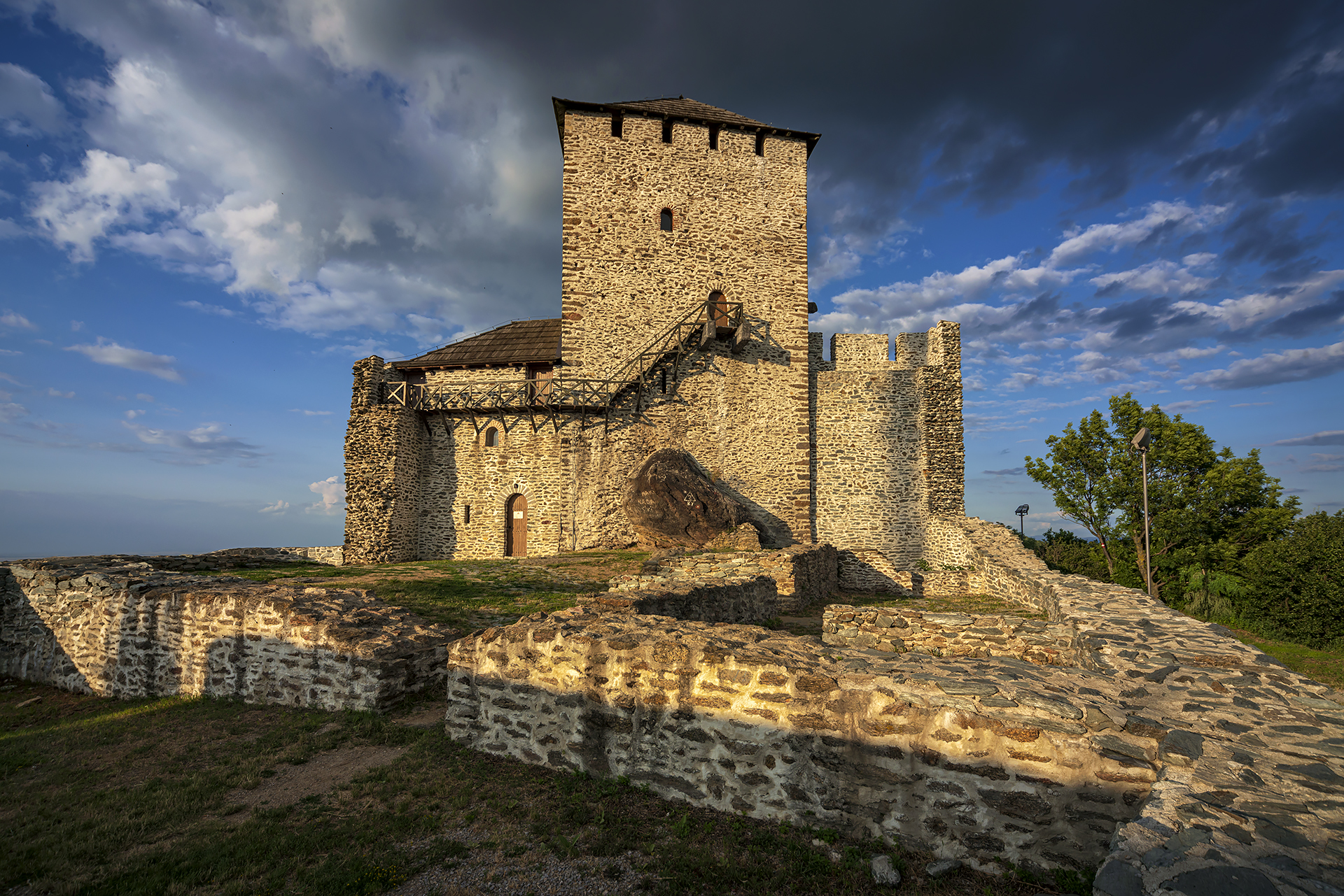
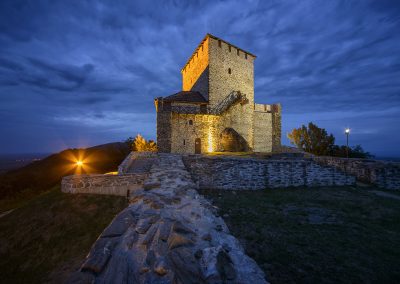
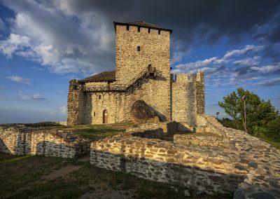
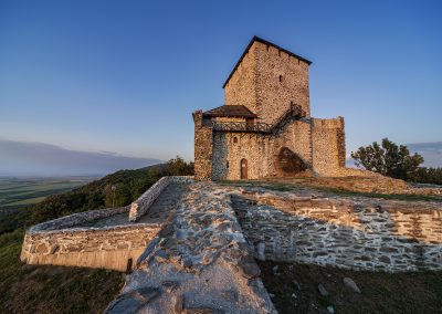
ABOVE: The imposing keep gave its name to the whole fortification, as well as the hill it stands on
In 1456, the Ottomans seized it during their advances toward the Orșova but didn’t remain in it. Later, the fortification was restored and remained in use until it finally fell under Ottoman rule in 1552. After the Treaty of Karlowitz in 1701, the demolition of Vršac Tower began, rendering it unusable for military purposes. By 1716, it had become part of the Austrian Empire. At that time, the castle probably lost its strategic value and was abandoned because there were no visible signs of being modified into an artillery fortification, like the Belgrade or Petrovaradin fortresses.
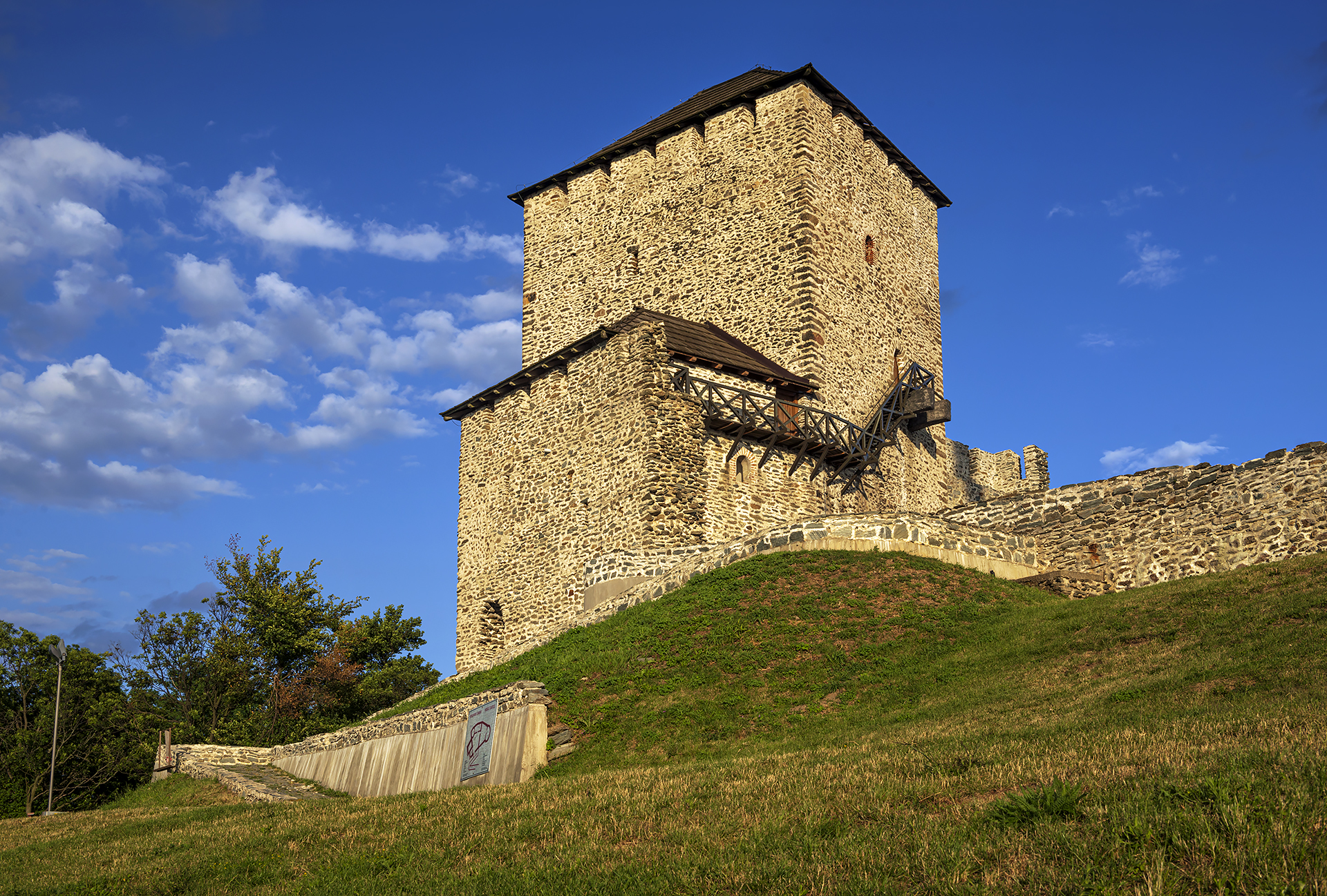
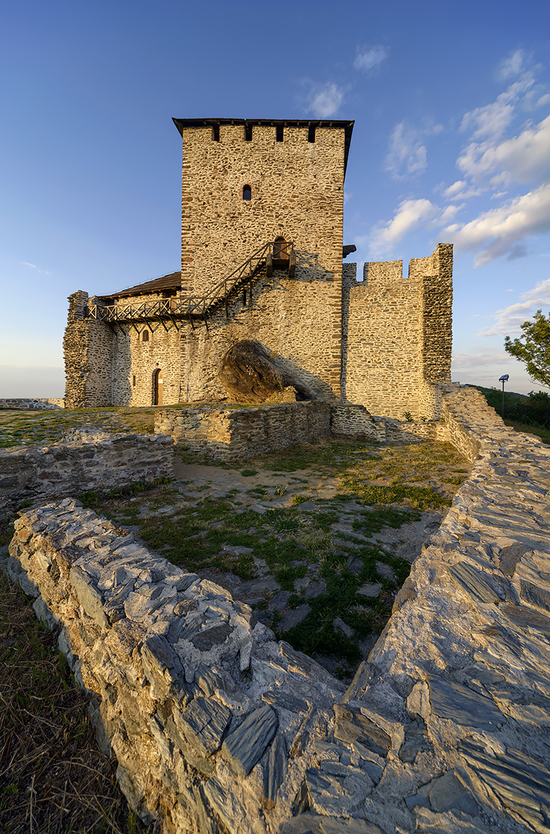
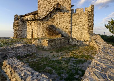
ABOVE: LEFT: The view of the northern rampart, where the entrance once stood. RIGHT: The lordly palace was nestled against the southern rampart of the castle
The Vršac Castle is situated at an altitude of 400 meters. It has an elongated polygonal layout adapted to the terrain’s configuration, with a total length of 58 meters and a width of 21 meters in the middle part. The 20-meter-high keep in the eastern section dominates the entire complex. The tower is an irregular rectangle with external dimensions of 13.8 by 11 meters. Movable wooden stairs provided access to the entrance on the upper floor and could be easily removed in case of danger. The massive walls, up to 3.9 meters thick, were built from broken stone with lime mortar. The interior was divided into three levels with wooden mezzanine structures, while the top floor featured a 2-meter-wide walkway. On the third level, remnants of the furnace with two hearths and a chimney, known as odžaklija, indicate that the tower had a residential function. The tower was often the target of conquests and destruction, especially during the 16th and 18th centuries, resulting in significant damage. Consequently, it underwent extensive conservation and restoration work on several occasions.
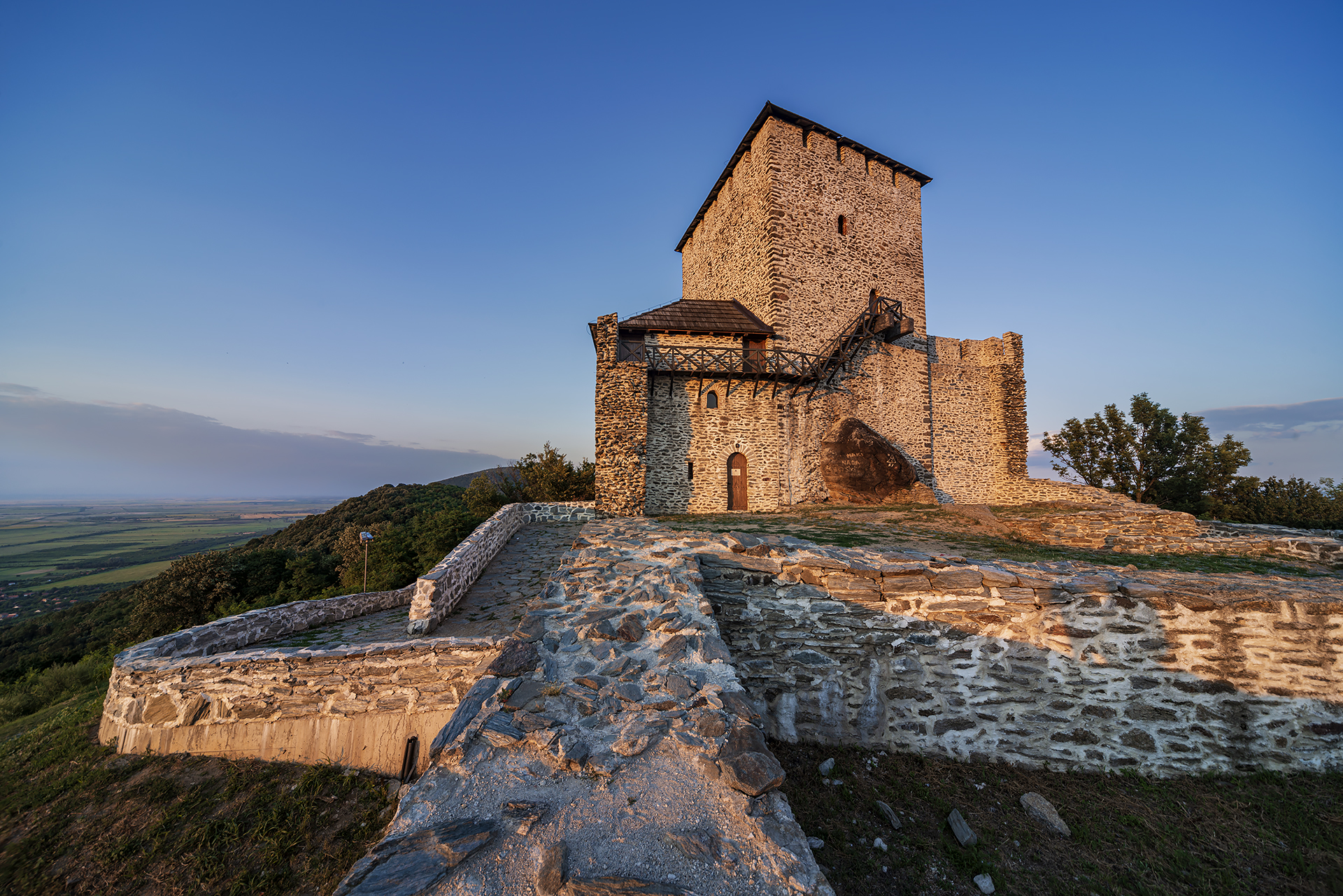
ABOVE: The northern rampart runs straight, connecting the keep on the eastern with the semi-circular tower on the western part of the fortification
During archaeological excavations, a semi-circular tower on the western side of the castle was uncovered, along with the segments of southern, northern, and eastern ramparts, initially varying in height from 8 to 11 meters and in width from 1.6 to 1.9 meters. A partition wall, extending 18.2 meters in length, was also discovered, dividing the interior of the fortification into the eastern and western sections, as well as several structures within the complex, most notably the lordly palace and a cistern at the base of the keep. Also, archaeologists discovered numerous movable artefacts, including ceramics, stone objects, metal weapons, tools, and coins. Analysis of these artefacts will offer a more detailed picture of the castle’s historical, cultural, and economic life. The Vršac Castle was declared an immovable cultural property of great importance and has been protected as a cultural monument since 1948.
List of References
The Banat Lighthouse of Freedom
During the Ottoman rule over this region, a major uprising known as the Banat Uprising took place in 1594, temporarily liberating the town of Vršac and its fortification. Although it was quickly suppressed, one event during the town siege has been remembered forever. The Ottoman commander Ali-Beg challenged the Serbian Duke Janko Lugošan Halabur, defender of the fortification, to a duel. Halabur accepted the challenge and defeated Ali-Beg. His heroic act was immortalised on the coat of arms of Vršac, featuring a hand holding a sword and a severed Turkish head above the castle’s tower.
Translation: Marija Stamenković
Explore nearby fortresses
Ram
Kovin

