Observation Post of the Sićevo Gorge
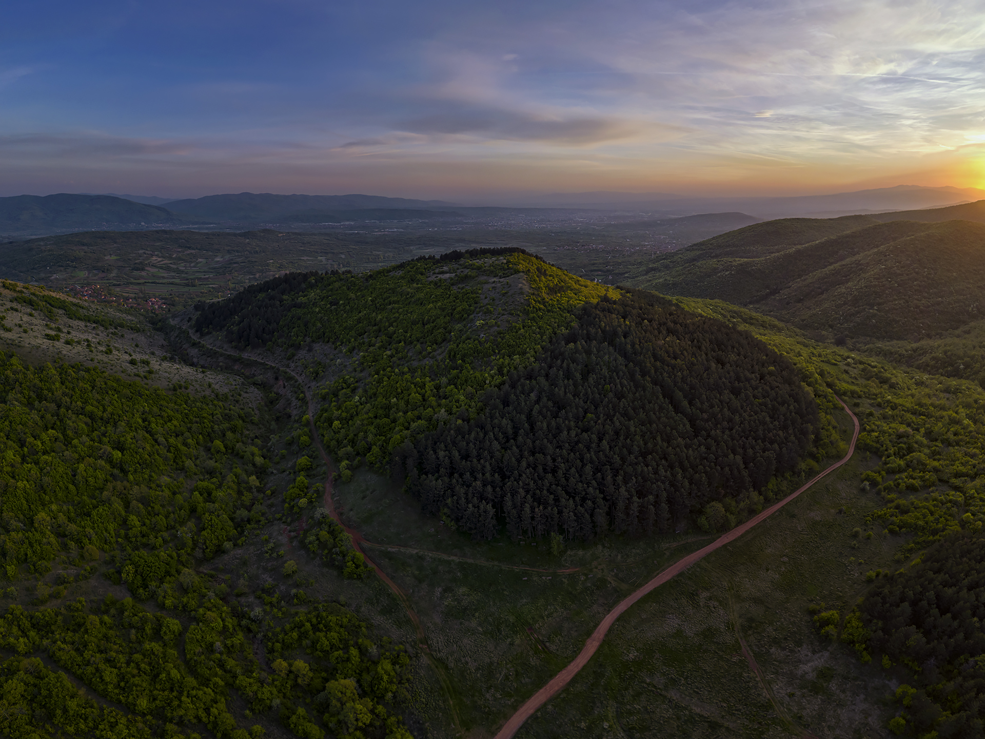
Perched on the prominent Čuka peak, which rises steeply above the entrance to the Sićevo Gorge, are the remains of an early Byzantine military observation post, or speculum, dating back to the reign of Emperor Justinian. Built within the present-day village of Gradište near Bela Palanka, this fortification monitored the entrance to the Sićevo Gorge, protecting the regional road that, in antiquity, ran along its right rim. Unfortunately, few visible traces of this castellum remain today, while the route of the old road has fallen into neglect and is overgrown with vegetation.
ABOVE: Map of the site

ABOVE: View from Čuka overlooking the Gradište Canyon, the most captivating part of the Sićevo Gorge
According to the writings of Procopius of Caesarea, the chief chronicler of Emperor Justinian’s public works projects, during the reign of this Byzantine emperor, as many as 32 new and eight restored fortifications were constructed near Naissus, along with 30 additional fortifications in the vicinity of Remesiana, now modern-day Bela Palanka. Built between 530 and 552 AD, these fortifications protected the population from barbarian raids and plundering. Among them was the castellum near the village of Gradište, whose purpose was to oversee and safeguard the entrance to the Sićevo Gorge.
The village of Gradište is situated on the edge of the Svrljig Mountains, on the right bank of the Nišava River, just above where the river enters the narrow Sićevo Gorge. It lies at the bottom of a former Pliocene-era lake, where the Nišava began cutting its canyon into the ancient lakebed. During antiquity and into the Middle Ages, a side road ran through this area, passing along the rim of the Sićevo Gorge and connecting the Niš Basin with the Bela Palanka Basin. This road was protected by a series of minor fortifications strategically positioned along its route. One of these forts was the castellum on the 551-meter-high hill called Čuka, the ruins of which lend the name to the entire village of Gradište afterward.

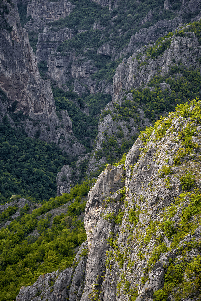
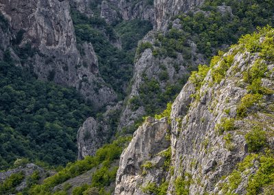
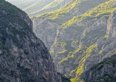
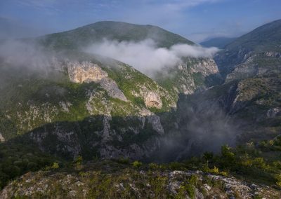
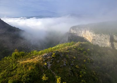
Above left and right: The cliffs of Gradište Canyon
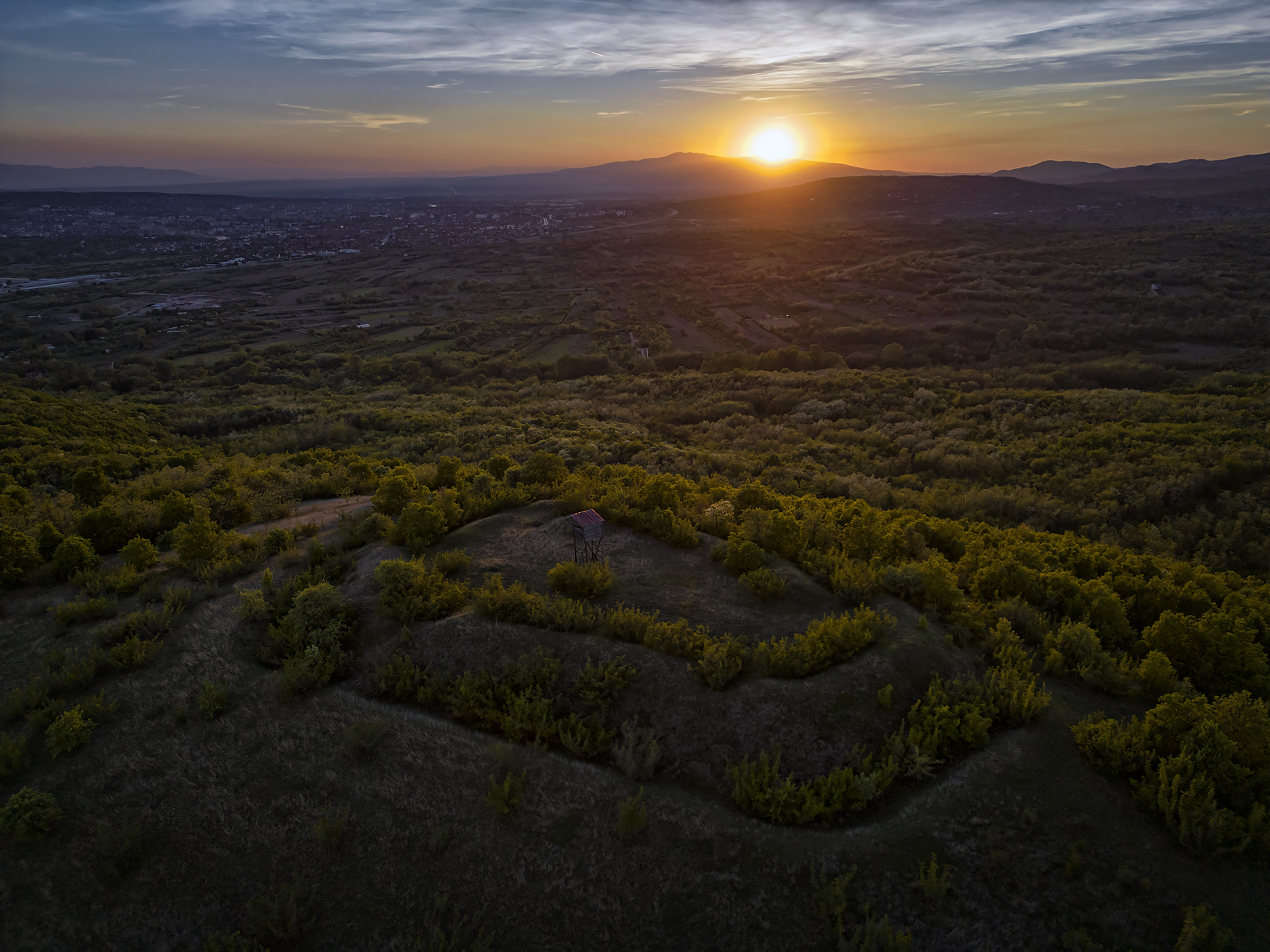
In 1981, a reconnaissance survey by the Archaeological Institute confirmed the presence of a small fortification on the Čuka hill, located in the southwestern periphery of Gradište. The sides of the prominence rise only about ten meters above the village, while its southwestern cliff, overlooking the entrance to the gorge, reaches approximately 150 meters in height. The fortification can be identified by the terrain’s contours, though it is in a poor state of preservation. Encompassing the hilltop, it was most likely elliptical in shape, measuring 20 by 30 meters.
Illegal treasure hunters have caused significant damage to the site, leaving it heavily disturbed. In the smaller excavation pits left behind by the diggers, it is evident that the fortification was constructed with crushed stone bound with lime mortar and antique-format bricks, as suggested by the small brick fragments found. The site has not been subjected to detailed archaeological investigation, and apart from coins from the reign of Emperor Justinian and some early mediaeval weaponry, there are few other notable discoveries. Of particular interest is a ritual stone from the site, now used as a candlestick in the recently restored village church.

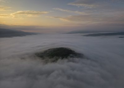
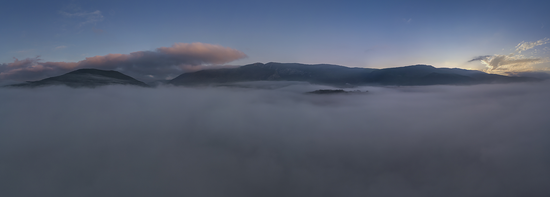
ABOVE: Panorama of the Svrljig Mountains and Sićevo Gorge
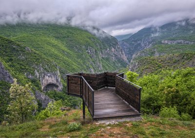
The Čuka peak has been designated a viewpoint by mountaineers from Niš, offering stunning vistas of the Gradište Canyon, Oblik Peak, the Svrljig Mountains ridge with the 1,267-meter-high Pleš, as well as the village of Gradište. Recently, a wooden observation platform and a sheltered area with benches were added, enhancing the tourist infrastructure of the “Sićevo Gorge” Nature Park.


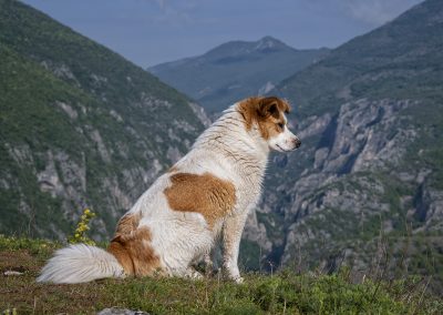
Above left: The watchful guardian of the gorge
Above right: Lookout point near the village of Gradište
List of References
- Kostić, Mihajlo. Bela Palanka Basin: Socio-Geographical Studies. Vol. 23. Belgrade: Jovan Cvijić Geographical Institute, 1970.
- Ćirić, Jovan. Gradište: A Chronicle of the Village. Niš: Center for Scientific Research of the Serbian Academy of Sciences and Arts and the University of Niš, 2006.
- Pejić, Predrag. Ancient Topography of the Pirot Region. PhD diss., Faculty of Philosophy, University of Belgrade, 2015.
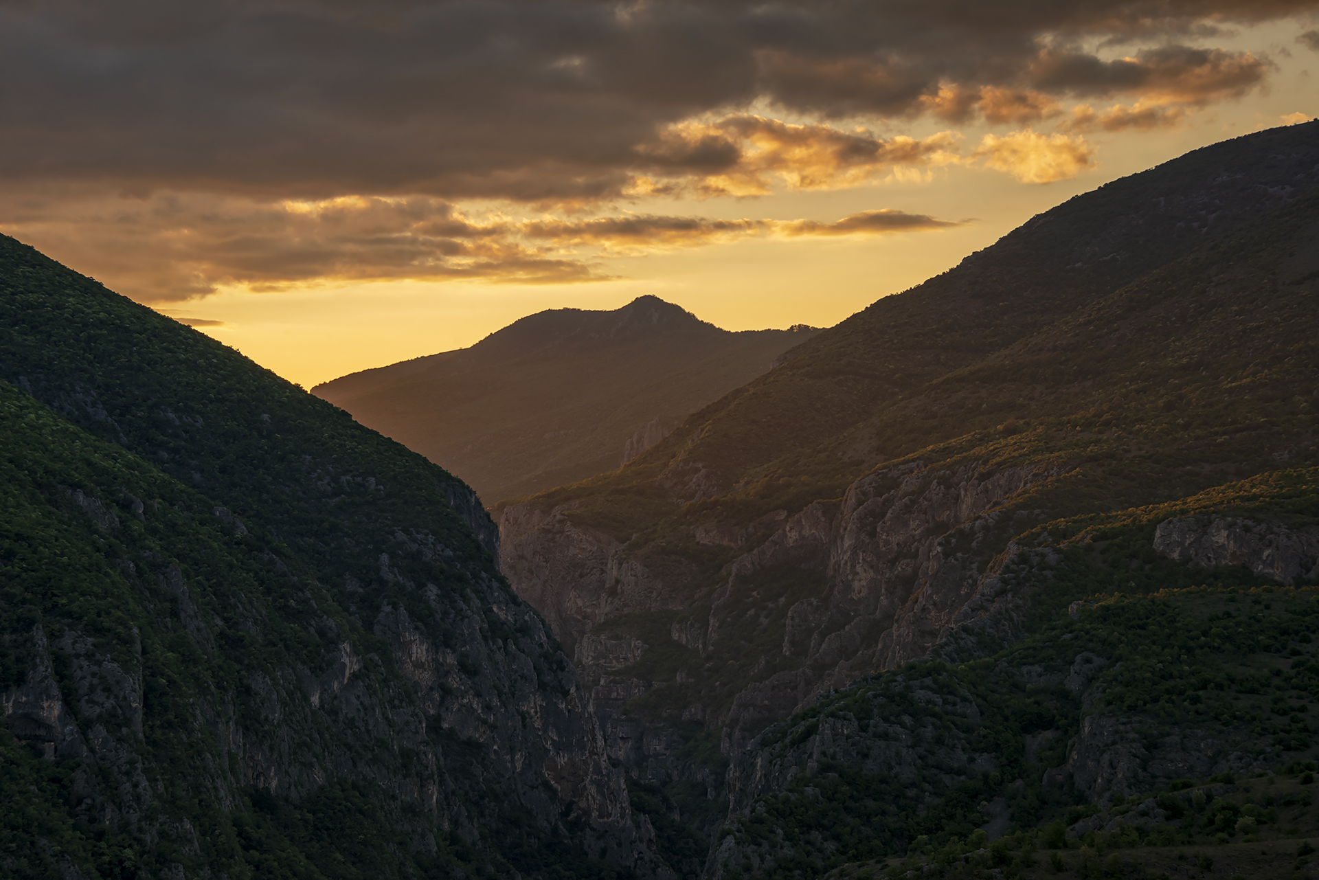
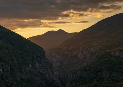
ABOVE: Sunset over the Sićevo Gorge
Nature Park “Sićevo Gorge”
The Sićevo Gorge represents a dramatic incision carved by the Nišava River between the southern slopes of the Svrljig Mountains and the Suva Mountain. Protected as a region of exceptional biological diversity, the gorge is home to a wealth of endemic, relic, and rare plant species, making it a significant refuge for plant life in Serbia and the Balkans.
From a morphological perspective, the Sićevo Gorge represents one of Serbia’s most impressive and complex karst formations. It encompasses three distinct morphological units: the Gradište Canyon, the Prosek Gorge, and the Ostrovica Basin. The area’s distinctive landscape is further defined by numerous caves, rock shelters, pits, and sinkholes. The most striking and valuable feature is the majestic Gradište Canyon, known for its narrow, steeply cut vertical rock faces. These rugged cliffs are home to one of Serbia’s last nesting pairs of golden eagles (Aquila chrysaetos).
Adding to the significance of the Sićevo Gorge are its numerous mediaeval monasteries, churches, church sites, fortifications, and other historical monuments, including sections of the famed Roman road Via Militaris.
Explore nearby fortresses
Gradac (Knez Selo)
Gradac (Gornja Vrežina)

