A Town or a Watchtower?
The fortification situated on a hill, locally known as Treska or Trijeska, as indicated on maps, is located near the village of Jablanica, five kilometres southeast of Gornji Milanovac. It was constructed on a difficult-to-access, rocky elevation where the Jablanički Stream converges with the Grabovička River. Archaeological evidence suggests that its construction dates back to the late 14th or early 15th century. Although only the foundations remain today, it is believed that the fortress once played a crucial role in controlling the routes leading from Rudnik to the east and south. Some scholars propose that these ruins may be the remnants of the mediaeval town of Nevade, which was referenced in a charter by Hungarian King Sigismund in 1411.
ABOVE: Map of the site

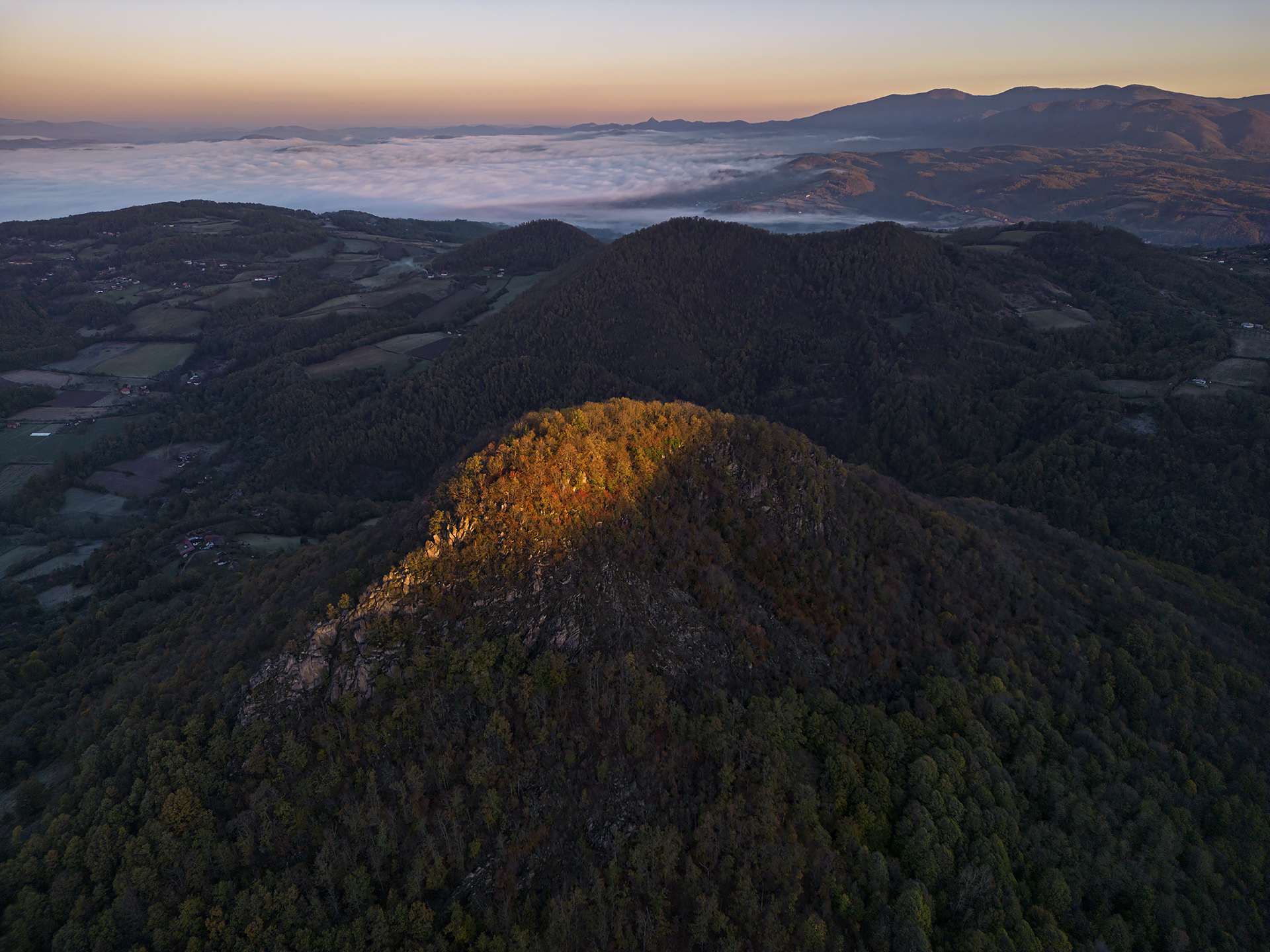
ABOVE: The hill of Treska, where a fortification once stood during the Middle Ages
The hill of Treska, rising to 735 meters above sea level, dominates the landscape. From its summit, one can survey the entire southern foothills of Rudnik and spot the Ostrvica peak, along with its namesake fortress to the northwest. This strategic vantage point suggests that the fortification on Treska may have been part of a broader network of watchtowers encircling Mount Rudnik to protect the local mines. The base of the fortification is comparable in size and spatial organisation to the Gradina fortification in the nearby village of Majdan, indicating a standardised design for these towers.


ABOVE LEFT: A rocky ridge known as Krš descends from the summit of Treska
ABOVE RIGHT: View from Krš towards Gornji Milanovac
The fortification’s layout is elongated, conforming to the contours of the terrain. It measures just over 100 meters in length, with a maximum width of 26 meters. Cliffs flank the southern and southeastern sides, while steep, difficult-to-scale slopes protect the remaining sides. At its apex stand the remnants of a circular donjon tower, featuring an inner diameter of 8 meters. The walls, which are 1.4 meters thick, were constructed using large, rough-hewn, and broken stones on their exterior side.
Small-scale archaeological excavations were conducted in 1987 and 1988. Ceramic artefacts, approximately dated to the late 14th and early 15th centuries, served as the primary evidence for establishing the fortification’s age. Three excavated probes uncovered numerous pottery shards, a fragment of a glass vessel, a portion of an iron tool, several pieces of slag, and two iron arrowheads. Only a small fraction of the ceramic findings can be attributed to the ancient period and the earlier Iron Age (Hallstatt culture).

ABOVE: A plateau on the southeastern side of the hill, from which a path leads to the summit
Access to the site is available via a marked path that begins at a spacious plateau on the southeastern side of the hill and gradually curves toward the northeast. Dense vegetation envelops the peak, concealing remnants of the former fortress. The summit of Treska, which is of volcanic origin, is adorned with numerous imposing rock formations, imparting a unique charm and an air of mystery to this location.
List of References

ABOVE: The summit of Treska dominates the landscape, making it a logical choice for the ancient builders to construct a fortification
From Historical Records
A small town or tower stands on the hill of Treska. The locals attribute these ruins to Đurađ’s Jerina. It is said that the Turks fired cannons at this small town from Veliki Vrh (the Great Peak), which is directly across from Treska.
(From the book “Principality of Serbia” by Milan Đ. Milićević, published in 1876.)
At the summit of Trijeska, remnants of ancient walls can be found, now overgrown with forest. It is believed that this site was once a town established by Jerina the Cursed. Numerous human bones have been discovered in the area, along with several caves that are suitable for concealment. People say that there was once a “Hungarian” cemetery here, similar to the one on Lipovac, but everything has been taken away.
(According to the book “Takovo” by Milenko Filipović, published in 1960.)


ABOVE LEFT: Like many other fortresses in Serbia, this one is said to have been built by Jerina the Cursed
ABOVE RIGHT: It remains uncertain whether this was the medieval town of Nevade or simply one of the many watchtowers around Rudnik
The Forgotten Town of Nevade
Nevade was a Serbian mediaeval city located near Mount Rudnik, whose exact location remains unknown. The only remnant of this fortification is reflected in the name of a village called Nevade, situated 3 km northwest of Gornji Milanovac along the Despotovica River. Historical records mention Nevade only once: in a 1411 charter issued by Hungarian King Sigismund (1387-1437), which details the exploits of nobleman Peter Perényi. This document recounts a 1397 Hungarian incursion into Serbia, during which the fortress of Borač fell, while Čestin and Nevade successfully withstood siege attempts, leaving Perényi wounded in the battle.


ABOVE LEFT AND RIGHT: The summit of Treska is scattered with unusually shaped stone blocks
The fortress was forgotten for centuries and only regained scholarly attention in 1995 when historian and academician Sima Ćirković published an article titled “Nevade—An Unknown Fortified City in Serbia.” Today, there are two hypotheses regarding the location of this fortification. The first, presented by Dejan Bulić and Vladeta Petrović in the article “Ubication of the Mediaeval Fortification of Nevade,” suggests that the fortification is situated at the summit of Treska. The second theory, proposed by architect Ranko Tomić, posits that the fortification is located at the peak of Veliki Vis on Mount Rudnik in the village of Nevade. Currently, there is no conclusive evidence to support either of these theories.
Photo Gallery
Explore nearby fortresses

Gradina (Gornja Crnuća)

Sokolica